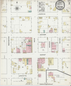
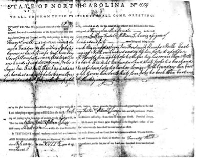
 Sanborn Fire Insurance Map from Bolivar, Hardeman County, Tennessee.
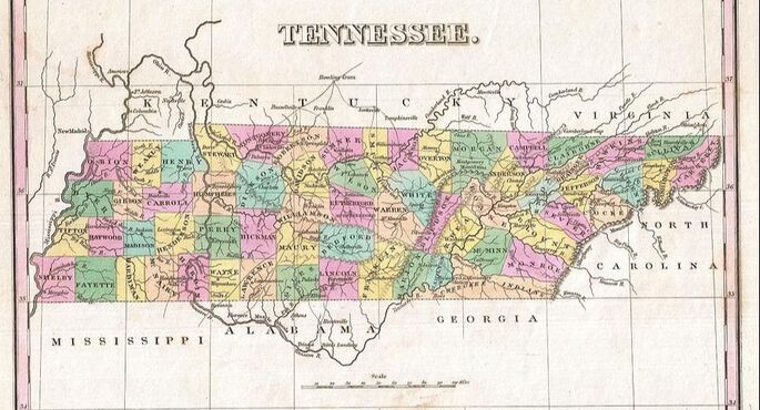
 Old maps also provide other information that can help a genealogist, from identifying neighbors and locating the closest church, to identifying key transportation routes likes roads, railroads and waterways. One site for historic maps is https://www.davidrumsey.com/. There are over 90,000 maps on this site and a wealth of information. Lisa Louise Cooke has an excellent tutorial on how to use the site.
Another set of maps that provide a wealth of information to the genealogist wanting to learn about their ancestors that lived in a city are the Sanborn Maps. These maps were originally created by the Sanborn Map Company to assess fire risk for insurance purposes. The detailed drawings show building placement on the lot, location of doors in the building, the number of stories and construction material and much more. The Library of Congress currently has 176 of these maps available online for Tennessee and they can be accessed at https://www.loc.gov/collections/sanborn-maps/?fa=location:tennessee.


